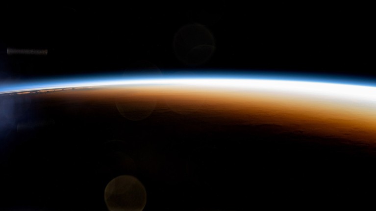
Sun rays keep a portion of the upper atmosphere’s molecules ionized, causing anomalies in the propagation of radio waves.Credit: JSC/NASA
For the first time, researchers have used real-time data from around 40 million mobile phones to map conditions in the ionosphere — a region of the upper atmosphere in which some of the air molecules are ionized. Such crowdsourced signals could improve satellite navigation, especially in swathes of the world where data are otherwise scarce, including Africa, South America and South Asia.
The proof-of-principle study, by a team at Google, was published in Nature on 13 November1.
“It’s an amazing data set,” says Anthea Coster, an atmospheric physicist at the Massachusetts Institute of Technology in Cambridge. “It fills in the map a lot, in areas where we desperately need more information.”
Phone data could reduce GPS errors by 10–20% in some areas, and more in underserved regions, estimates Ningbo Wang, an atmospheric physicist at the Aerospace Information Research Institute of the Chinese Academy of Sciences in Beijing. Even with adjustments, interference from the ionosphere remains a challenge, he says, especially during solar storms that trigger uneven conditions in the ionosphere. “The results presented are truly impressive.”
Dual bands
When the air is partly ionized, freely moving electrons slightly slow down the radio signals travelling to Earth from GPS and other navigation satellites. This can affect the nanosecond-precision timing that satellite navigation devices use to pinpoint their locations, with potentially serious impacts on aeroplane landings and autonomous vehicles.
Real-time maps of the density of these electrons are commonly used to correct for fluctuations in the ionosphere. Engineers create the maps using data from ground-based receiver stations, which can detect the arrival times of two different frequencies of radio waves received from the same satellite. Electrons in the ionosphere slow down low-frequency waves more than they do high-frequency ones, by a nanosecond or so. This difference reveals the density of the electrons the wave passed through on its way to a receiver.
Without these corrections, GPS would be out by around 5 metres, and by tens of metres during solar storms, when charged particles from the Sun can boost electron density. But many regions of the world lack the ground-based receiver stations used to make these maps.
Noisy bonanza
Although not all satnav devices can work at multiple frequencies, modern phones often do. Phone sensors also weren’t previously thought to be viable for mapping the ionosphere, says Brian Williams, a computer scientist at Google in Mountain View, California, and a co-author of the study. This is because data from mobile phones are much noisier than are those from purpose-built scientific receivers, not least because they receive signals only intermittently and because the radio waves bounce off nearby buildings in built-up areas.
The Google team succeeded in part thanks to the volume of data obtained. “When combined in large numbers, the noise averages out and you still get a clear signal,” says Williams. “It’s like there is a scientific monitoring station in every city where there are phones.”
Anyone with an Android phone — and who allows Google to collect sensor data to improve location accuracy — was eligible to contribute to the study. But the data were aggregated such that individual devices are not identifiable, says the firm.
Williams says that efforts are already under way to use this technique to improve location accuracy for Android users. But the data should also be useful for scientific studies of Earth’s upper atmosphere, he says. Already, the map has revealed bubbles in ionized gas, known as plasma, over South America that had not previously been observed in detail.
For science to really benefit, Google will need to release the data, says Coster, who works on the Madrigal Database, a community resource for geospacer data that brings together ionosphere data from thousands of ground stations. A spokesperson for Google told Nature’s news team that the data behind the study will be released alongside the paper, but there are currently no plans to provide fresh data in real time.
Researchers are working on using other smartphone sensors in other ways. Google’s Android Earthquake Alerts System in 2020 showed how accelerometers in people’s phones could sense quakes and warn others who were yet to be hit. Apple users can access an app that uses similar technology.
Until now, scientists have thought of phones as end users of navigation services, says Wang. Flipping this on its head to use phone measurements as input data is “new territory”, he says. “This paper marks an exciting shift.”
